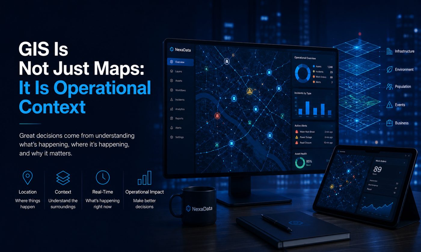
A map is useful when it answers an operational question
Maps are not only visuals. In information systems, GIS becomes valuable when it helps teams understand coverage, access, gaps, risk, distance, and service distribution.
Spatial context improves prioritization
When facility data, population data, service data, and assessment results are connected geographically, teams can identify areas that need attention more clearly.
GIS should connect with reporting
A strong GIS workflow is not isolated. It should connect with dashboards, field data collection, data quality checks, and reporting structures so spatial analysis becomes part of decision-making.
Operational maps tell a story
The best maps do not only show locations. They show patterns, gaps, and priorities in a way that teams can act on.